

Choquequirao Trek Map: Altitudes, Campsites and Elevation Profile
The Choquequirao trek starts at Capuliyoc (about 2,950 m), drops to the Apurímac River at Playa Rosalina (about 1,550 m), and climbs back up through Santa Rosa and Marampata to the ruins at about 3,050 m. That means a descent of roughly 1,400 m followed by a climb of about 1,500 m, each way. This guide follows the classic route from Cachora to Choquequirao and back, with the campsites, altitudes, and elevation profile you need to read any map of the trail.
Choquequirao Trek Route in Order
This is the main route into Choquequirao, used by both out-and-back treks and the start of longer traverses. Altitudes are approximate; different maps and signs vary by 50 to 100 m.
| Stop | Altitude | What it is |
|---|---|---|
| Cachora | — | Starting village in Apurímac, on the road to the trailhead |
| Capuliyoc | About 2,950 m | Trailhead and lookout over the Apurímac Canyon |
| Chikiska | About 1,950 m | Campsite partway down the canyon |
| Playa Rosalina | About 1,550 m | Lowest point; river crossing and campsite |
| Santa Rosa | About 2,200 to 2,300 m | Small settlement and campsite on the climb |
| Marampata | About 2,940 m | Village on a plateau facing the ruins; campsite |
| Choquequirao | About 3,050 m | The archaeological site; campsite nearby |
From Cusco, the drive to Capuliyoc takes about three hours by private transport. The trail begins at the lookout, where you get your first view down into the canyon.

Choquequirao Elevation Profile
The profile of the classic route looks like a deep “V” on the way in and the same “V” in reverse on the way out.
| Section | Start | End | Elevation change |
|---|---|---|---|
| Capuliyoc to Chikiska | 2,950 m | 1,950 m | About 1,000 m down |
| Chikiska to Playa Rosalina | 1,950 m | 1,550 m | About 400 m down |
| Playa Rosalina to Santa Rosa | 1,550 m | About 2,250 m | About 700 m up |
| Santa Rosa to Marampata | About 2,250 m | 2,940 m | About 700 m up |
| Marampata to Choquequirao | 2,940 m | 3,050 m | About 100 m up, plus terraces |
In total, you lose about 1,400 m from the trailhead to the river and gain about 1,500 m from the river to the ruins. On the way back, the numbers reverse. The climb out of the canyon to Capuliyoc is the last major effort of the trek.
The highest point, Choquequirao itself, sits lower than Cusco (3,399 m). Altitude sickness is therefore not the main concern on this route. The challenge is the steep gradient, the length of the climbs, and the heat at the bottom of the canyon.


Campsites on the Choquequirao Trek
| Campsite | Altitude | Typical use |
|---|---|---|
| Chikiska | About 1,950 m | First night, or the last night on the way out |
| Playa Rosalina | About 1,550 m | Some itineraries camp by the river |
| Santa Rosa | About 2,200 to 2,300 m | First night on longer routes |
| Marampata | About 2,940 m | Night before or after the site visit |
| Choquequirao | About 2,850 to 3,050 m | Campsite below the ruins |
| Coca Masana | About 2,100 m | Used on our 6-day route on the way back |
Campsites are basic, and facilities vary from one to the next. On our guided treks, the team carries and sets up four-season tents, a dining tent, a kitchen tent, and a private toilet tent.
Day by Day on the Classic Route
The classic out-and-back route takes four days, with one full day at Choquequirao:
| Day | Route | Distance | Hiking time |
|---|---|---|---|
| 1 | Capuliyoc – Playa Rosalina | About 14 km | 6 to 7 hours |
| 2 | Playa Rosalina – Choquequirao | About 10 km | 7 to 8 hours |
| 3 | Choquequirao – Chikiska | About 10 km | 6 to 7 hours |
| 4 | Chikiska – Capuliyoc | About 14 km | 7 to 8 hours |
That adds up to roughly 48 km. Our Choquequirao trek difficulty guide describes each of these days in more detail.
How Our 6-Day Trek Uses This Route
Our 6-day Choquequirao to Machu Picchu trek follows the same trail with shorter days: Capuliyoc to Chikiska on Day 1, Chikiska to Marampata on Day 2 (the hardest day, 6 to 8 hours), the site visit on Day 3, a descent to the river and a climb to Coca Masana on Day 4, and the climb back to Capuliyoc on Day 5. From there, you drive to Ollantaytambo and take the train to Aguas Calientes for a Machu Picchu tour on Day 6.
What You See at Choquequirao
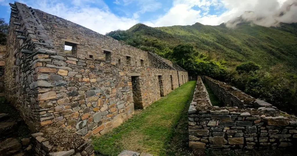
The archaeological park spreads across a ridge high above the Apurímac River, with the main plaza, ceremonial platforms, residential buildings, and long agricultural terraces running down the slopes. One set of terraces is decorated with stone figures of llamas set into the walls. Only part of the site has been excavated, and much of it is still covered by forest.
Allow at least half a day at the ruins. On most itineraries, you visit with your guide in the morning and have time to explore the terraces on your own.
Beyond Choquequirao: The Traverse to Machu Picchu
From Choquequirao, a second trail continues north over Choquequirao Pass, past the ruins of Pinchiunuyoc, down to the Río Blanco, and up to Maizal. From there, it climbs over the San Juan and Yanama passes in the Vilcabamba range before descending toward Santa Teresa and Machu Picchu. That route is covered by our 8-day Choquequirao trek to Machu Picchu, and it has a very different elevation profile, with a high point of 4,660 m.

Conditions on the Trail
- Heat: The canyon floor around Playa Rosalina can be very hot in the middle of the day. Start early and carry plenty of water.
- Cold: Nights at Marampata and Choquequirao are cool, especially in the dry season.
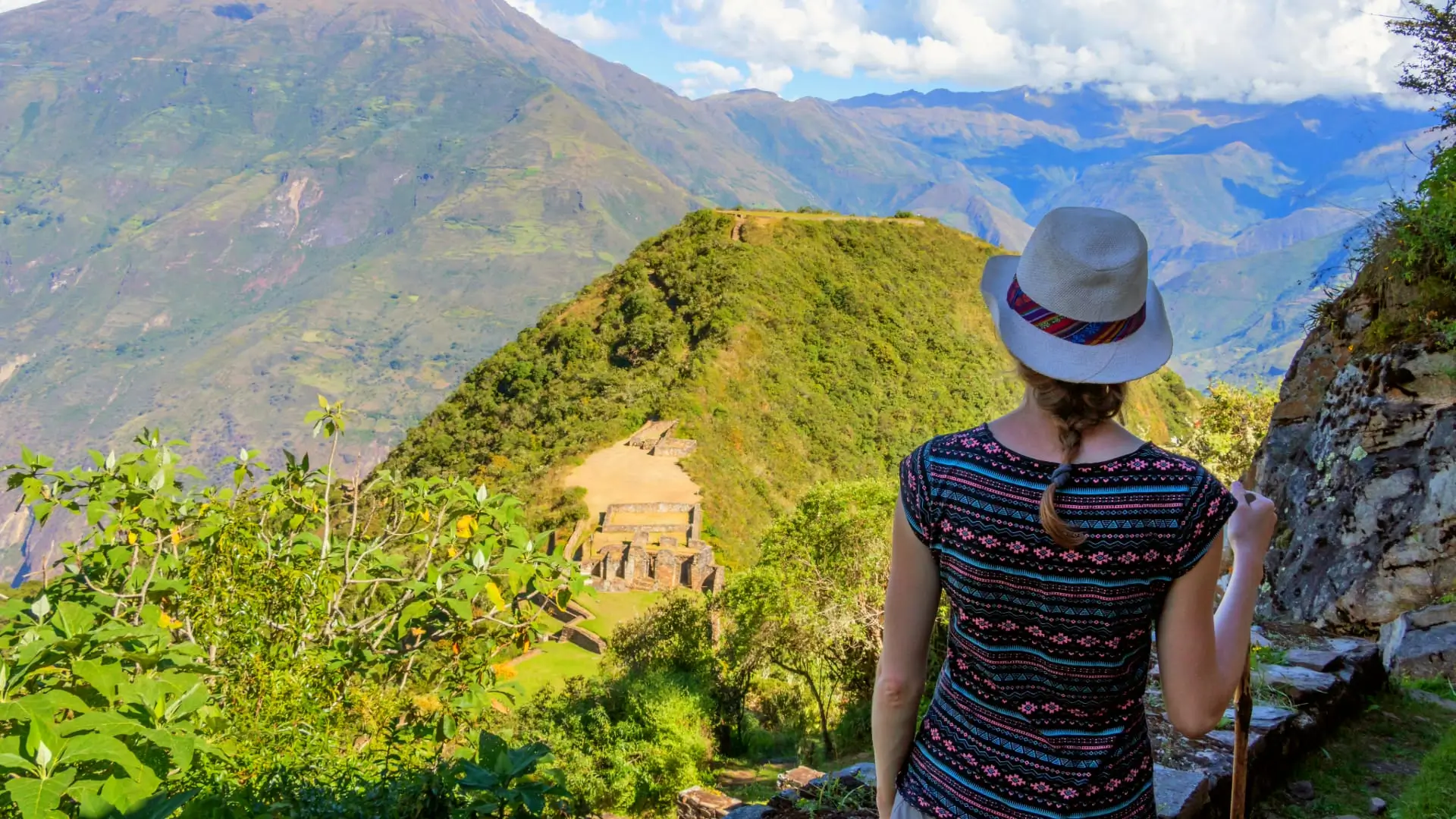
- Terrain: The trail is a well-used path, but it is steep, with long zigzags and loose sections. Trekking poles help on the descents.
- Rain: From December to March, trails are slippery and landslides are a real risk. Choquequirao has been closed during heavy rains in recent years, including from February 1, 2026, so check the status before booking a trek in the rainy season.
Horses and muleteers carry the camping gear and your duffel bag of up to 7 kg on our treks, so you only carry a daypack. Our trekking gear list covers what we provide.
Choquequirao vs. Other Treks on the Map
| Trek | Highest point | Main challenge |
|---|---|---|
| Choquequirao (classic route) | About 3,050 m | Steep canyon descent and climb, heat at the river |
| Salkantay Trek | About 4,637 m (Salkantay Pass) | High pass on Day 2 |
| Classic Inca Trail | About 4,215 m (Dead Woman’s Pass) | Stone stairs and steady climbing |
If you want a high-altitude route instead, compare the options in our guide to alternatives to the Inca Trail.
Frequently Asked Questions
Most treks start at Capuliyoc, a trailhead and lookout at about 2,950 m above the village of Cachora, about three hours by road from Cusco.
On the classic out-and-back route, the highest point is the Choquequirao site at about 3,050 m. On the longer traverse to Machu Picchu, the highest point is Yanama Pass at 4,660 m.
From Playa Rosalina (about 1,550 m) to the ruins (about 3,050 m), you climb about 1,500 m. You make a similar climb on the way out to Capuliyoc, so the round trip includes around 3,000 m of ascent and the same amount of descent.
Common campsites are Chikiska (about 1,950 m), Playa Rosalina (about 1,550 m), Santa Rosa (about 2,200 to 2,300 m), Marampata (about 2,940 m), and the campsite below Choquequirao.
The classic out-and-back route covers about 48 km over four days. Our 6-day version, which ends at Machu Picchu by train, covers about 50 km of hiking.