
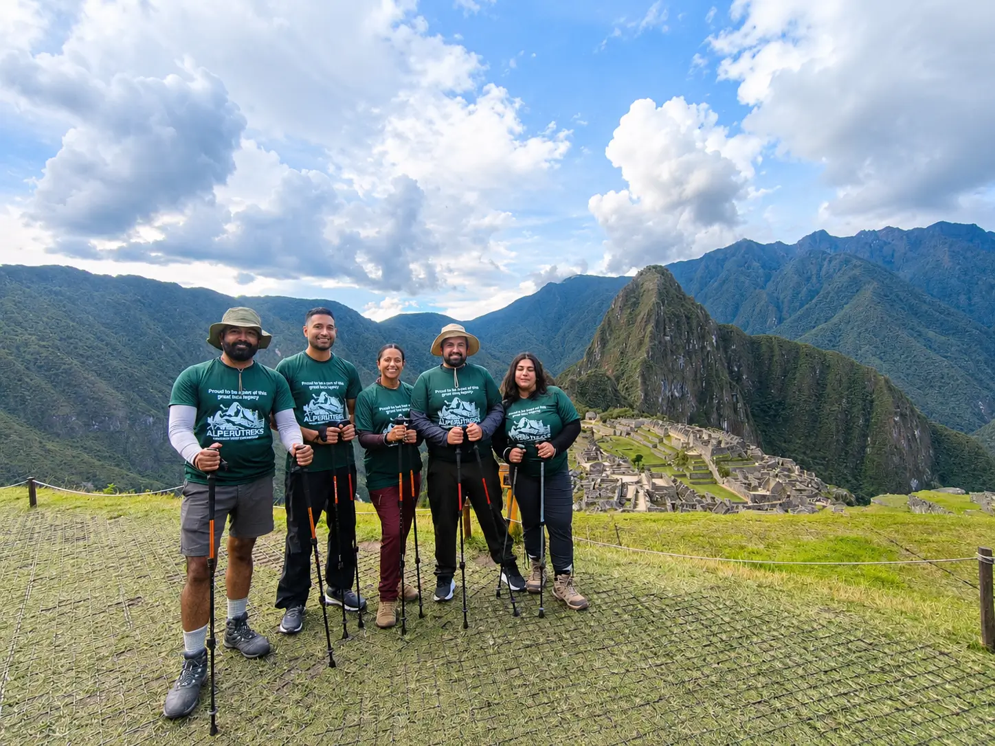

The Yanama Pass: Crossing the Vilcabamba Range from Choquequirao
Yanama Pass, at about 4,660 m (15,290 ft), is the highest point on the trek from Choquequirao to Machu Picchu. It sits in the Vilcabamba range, between the village of Yanama (about 3,500 m) and the Totora valley, and crossing it is usually the longest day of the route: 8 to 10 hours, with a climb of about 1,150 m and a descent of about 1,800 m. If you are planning the full traverse, this is the day to prepare for.
Yanama Pass at a Glance
| Detail | Information |
|---|---|
| Altitude | About 4,660 m (15,290 ft) |
| Mountain range | Cordillera Vilcabamba |
| Start of the day | Yanama village, about 3,500 m |
| End of the day | Colpapampa, about 2,840 m (via Totora) |
| Hiking time | 8 to 10 hours |
| Distance | About 22 to 25 km |
| Elevation change | About 1,150 m up, about 1,800 m down |
| Trek | Choquequirao Trek 8 Days to Machu Picchu, Day 5 |
Some maps and operators list the pass slightly higher, up to around 4,800 m. Differences of this size are common in the Andes, where maps, GPS devices, and signs often disagree.
Where the Yanama Pass Fits on the Route
The Choquequirao to Machu Picchu traverse crosses three distinct landscapes: the Apurímac Canyon, the high Vilcabamba range, and the cloud forest of the Santa Teresa valley. Yanama Pass marks the crest of the second section.
| Day | Route | High point |
|---|---|---|
| 1 | Capuliyoc – Playa Rosalina – Santa Rosa | Capuliyoc, about 2,950 m |
| 2 | Santa Rosa – Marampata – Choquequirao | Choquequirao, about 3,050 m |
| 3 | Choquequirao – Choquequirao Pass – Pinchiunuyoc – Maizal | Choquequirao Pass, about 3,300 m |
| 4 | Maizal – Victoria Mines – San Juan Pass – Yanama | San Juan Pass, about 4,150 m |
| 5 | Yanama – Yanama Pass – Totora – Colpapampa | Yanama Pass, about 4,660 m |
| 6 | Colpapampa – Lucmabamba | — |
| 7 | Lucmabamba – Llactapata – Aguas Calientes | Llactapata |
| 8 | Machu Picchu | Machu Picchu, about 2,430 m |
By the time you reach Yanama Pass, you have spent four days on the trail and slept at Yanama, about 3,500 m. That helps with acclimatization, but the pass is still more than 1,200 m higher than Cusco.
The Day Before: Maizal to Yanama via San Juan Pass
You cannot think about Yanama Pass without the day before it. From Maizal (about 2,900 to 3,000 m), the trail climbs through cloud forest to the old Victoria silver mines and then to San Juan Pass at about 4,150 m. That is a climb of about 1,150 m, followed by a descent of about 650 m to Yanama. The day takes 6 to 8 hours.
The Victoria Mines are a historic stop. They were worked for silver in the colonial era, and you can still see tunnels and stretches of old paved trail. On clear days, the views from the San Juan Pass area open up toward the snow peaks of the Vilcabamba range.
Yanama is a small farming village and one of the few places on the traverse with a road. It is your base for the night before the pass.

Crossing the Yanama Pass: What to Expect
The Climb
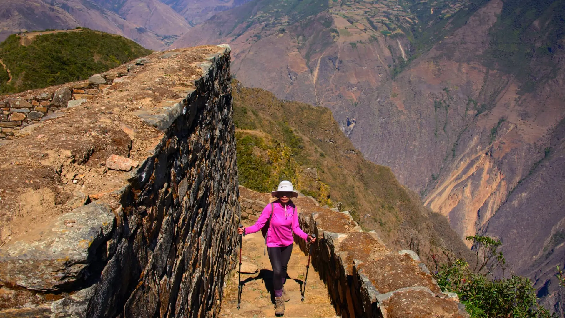
The day starts early. From Yanama, the trail follows the valley up toward the pass, gaining about 1,150 m. The climb is long and steady rather than technical, and the air gets noticeably thinner above 4,000 m. A road now runs from Yanama over the pass, and the trail crosses it in places, but vehicle traffic is light.
The Top
Yanama Pass is high and exposed. On clear days, it offers wide views of the glaciers and peaks of the Vilcabamba range, including Sacsarayoc, and on some days of Salkantay. It can also be windy, cold, and cloudy, even in the dry season. Most groups stop for a short rest and photos, then start down before getting cold.
The Descent
The descent is the longest of the trek. From the pass, the trail drops about 1,800 m past Totora toward Colpapampa (about 2,840 m), where the Choquequirao route meets the Salkantay route. The landscape changes from high grassland to the edge of the cloud forest. Long descents are hard on knees, so trekking poles help.
How Hard Is the Yanama Pass?
Yanama Pass is the most demanding single day of the Choquequirao to Machu Picchu traverse for most hikers. It combines high altitude, a long climb, a very long descent, and a full day of 8 to 10 hours.
Compare it with other passes near Cusco:
| Pass | Trek | Altitude |
|---|---|---|
| Yanama Pass | Choquequirao to Machu Picchu | About 4,660 m |
| Salkantay Pass | Salkantay Trek | About 4,637 m |
| Dead Woman’s Pass | Classic Inca Trail | About 4,215 m |
| San Juan Pass | Choquequirao to Machu Picchu | About 4,150 m |
Yanama is slightly higher than Salkantay Pass, and the full day is longer because of the descent. The difference is that you reach it after four days of steep canyon and mountain hiking, so fatigue matters as much as altitude.
Altitude Precautions
Spend at least two to three days in Cusco before starting the trek. Our acclimatization guide explains how to use that time. Tell your guide if you feel headache, nausea, dizziness, or unusual breathlessness on the way up. Our altitude sickness guide covers the symptoms. Guides carry emergency oxygen and a first aid kit.
Weather on the Yanama Pass
The best time to cross is the dry season, roughly May to September, when skies are clearer and the trail is firmer. Even then, expect:
- Cold mornings at Yanama and strong wind at the pass.
- Fast-changing weather, with cloud that can hide the views.
- Strong sun at altitude, so sunscreen and sunglasses are essential.
From December to March, rain, mud, and snow at the pass are more likely. The whole Choquequirao route is also exposed to rainy-season closures; the site was closed from February 1, 2026, until a reopening in April 2026.

What to Pack for the Yanama Pass
- A warm insulated jacket and a windproof, waterproof shell.
- Gloves, a warm hat, and a buff or neck gaiter.
- Sun hat, sunglasses, and sunscreen.
- 2 to 3 liters of water and snacks for a long day.
- Trekking poles for the descent.
- Broken-in boots with good grip.
Horses carry the camping gear and your duffel bag of up to 7 kg, so you only carry a daypack. Our trekking gear list covers what we provide.
After the Pass: Down to Machu Picchu
From Colpapampa, the last two trekking days are lower and warmer. Day 6 follows the Santa Teresa valley to Lucmabamba (about 2,000 m), with a visit to a coffee farm. Day 7 climbs to the Inca site of Llactapata, where you get your first distant view of Machu Picchu, before descending to the hydroelectric station and walking along the Urubamba River to Aguas Calientes. On Day 8, you take the bus up for a guided Circuit 2 tour of Machu Picchu.
Is There a Shorter Way to Cross the Vilcabamba Range?
If you want high-mountain scenery without the full eight days, the Salkantay Trek crosses a pass of similar height in four to five days. If you want Choquequirao without the high passes, the 6-day Choquequirao to Machu Picchu trek visits the ruins and reaches Machu Picchu by road and train, with a high point of about 3,050 m.
Frequently Asked Questions
Yanama Pass is about 4,660 m (15,290 ft). Some sources list it slightly higher, up to about 4,800 m, because maps and GPS readings vary.
The Choquequirao to Machu Picchu traverse crosses Yanama Pass. On our 8-day trek, it is Day 5, between Yanama village and Colpapampa.
The full day from Yanama to Colpapampa takes 8 to 10 hours, with a climb of about 1,150 m and a descent of about 1,800 m.
The two are similar in altitude, about 4,660 m vs. 4,637 m. The Yanama day is usually harder because of its very long descent and because you reach it after four demanding days.
May to September, during the dry season. Expect cold mornings and wind at the pass even then. From December to March, rain and snow are more likely, and the Choquequirao route can close.