
Inca Trail History: How an Ancient Royal Road Became a Modern Trek
The Inca Trail was built in the 15th century, during the reign of the Inca emperor Pachacuti, as a ceremonial route connecting Cusco to Machu Picchu. It formed a small part of the Qhapaq Ñan, the empire-wide Inca road network. After the Spanish conquest, the trail fell into disuse and was gradually overtaken by cloud forest, largely unknown outside local communities until Hiram Bingham’s 1911 expedition brought it international attention. It wasn’t formalized into the regulated, permit-based trek it is today until decades later.
Here’s how a functional royal road became one of the world’s most sought-after multi-day hikes.
Origins: Part of a Much Larger Road Network
The Inca Trail as trekkers know it today — the roughly 42 km stretch from Km 82 to Machu Picchu — is a small surviving fragment of the Qhapaq Ñan, a road system that once connected the entire Inca Empire, Tahuantinsuyo. Estimates of the network’s total length vary considerably between sources, ranging from roughly 20,000 to 40,000 km depending on how fragmentary or reconstructed sections are counted, but even the more conservative figures describe a road system stretching across what is now Peru, Ecuador, Bolivia, Chile, Colombia, and Argentina.
The network wasn’t built for hikers or pilgrims exclusively. It served administrative, military, and religious functions: moving armies, transporting goods and tribute, and carrying messages via chasquis — relay runners trained to cover long distances at speed. Waystations called tambos, spaced roughly a day’s travel apart, provided food, shelter, and storage along the routes.
The stretch that survives as today’s Inca Trail is believed to have functioned primarily as a ceremonial and pilgrimage path leading to Machu Picchu, rather than a major trade or military corridor.
Key Historical Milestones
| Period | What Happened |
|---|---|
| 15th century | Built under Pachacuti’s reign as part of the wider Inca road network, leading to the recently constructed Machu Picchu |
| 1532 onward | Spanish conquest begins; Machu Picchu and the trail leading to it are abandoned rather than discovered by the Spanish, and gradually reclaimed by cloud forest |
| 1911 | Hiram Bingham’s expedition brings Machu Picchu to international academic and public attention — though local Quechua communities had long known of the ruins |
| 1983 | The Machu Picchu Historic Sanctuary, encompassing the trail corridor, is designated a UNESCO World Heritage Site for both cultural and natural significance |
| Early 2000s | Peru’s government introduces a daily permit cap on the Inca Trail in response to overcrowding and erosion concerns |
| 2014 | The broader Qhapaq Ñan road system, including sections beyond the Inca Trail itself, receives its own separate UNESCO World Heritage designation as a shared listing across six countries |
Why the Trail Was Built: Function, Not Tourism
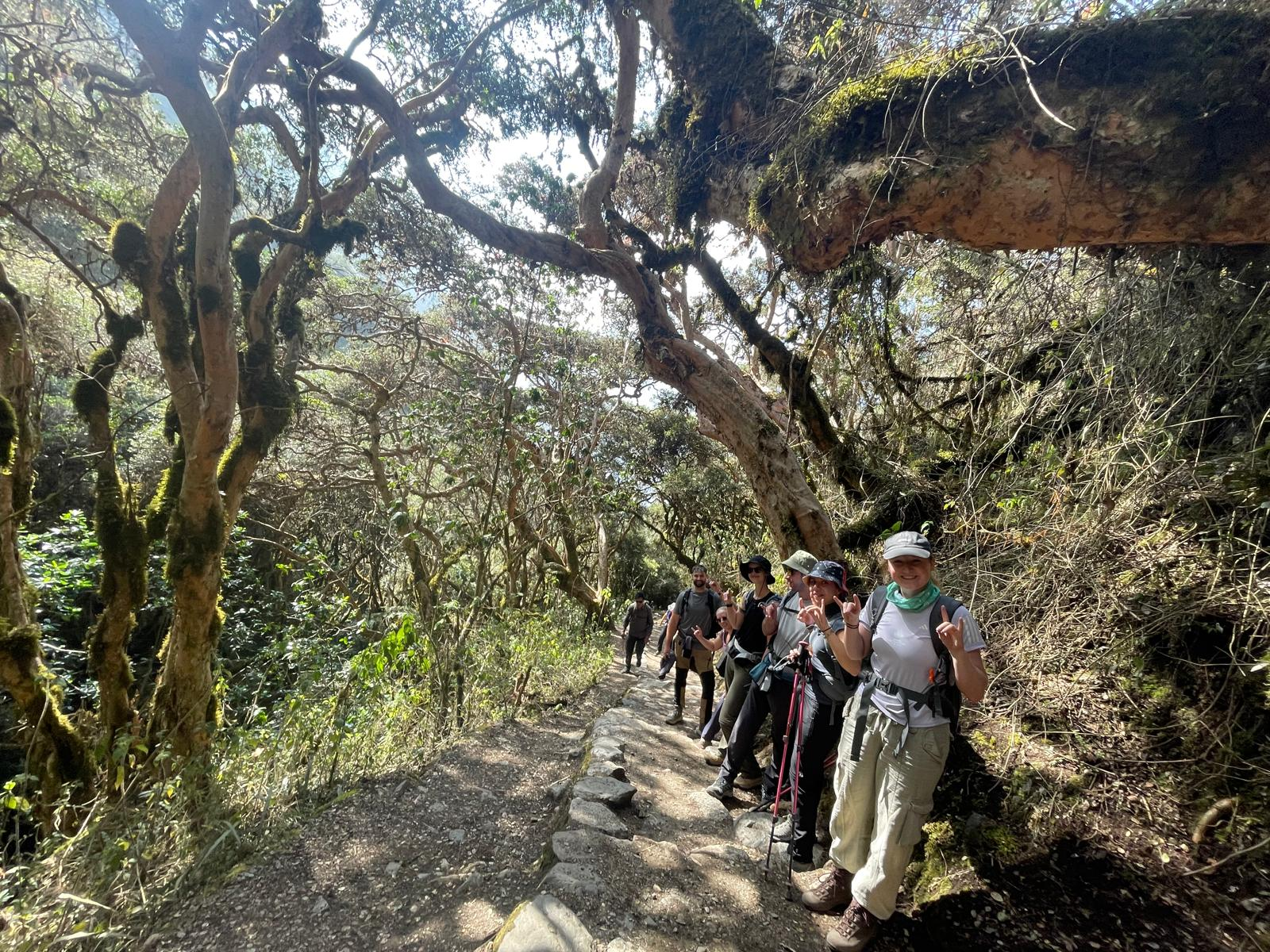
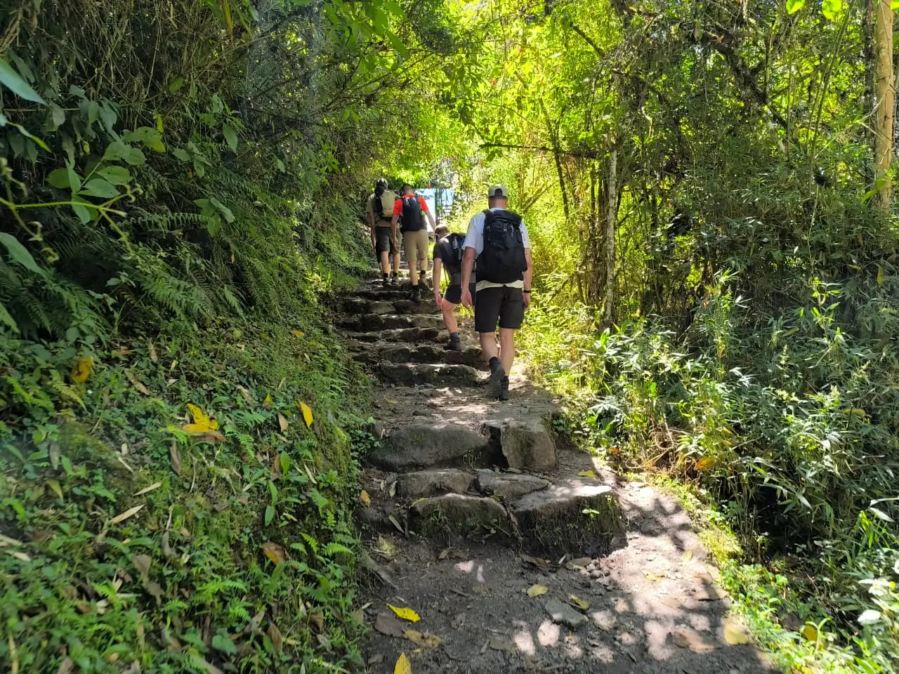
It’s worth being clear about something that’s easy to romanticize: the Inca Trail wasn’t built for recreation. Its stone paving, staircases, and engineering were designed for the practical movement of officials, priests, and pilgrims to a sacred destination, using construction techniques the Incas applied across their much larger road network — cut stone steps on steep grades, drainage channels to prevent erosion, and careful routing around difficult terrain.
The trail’s relatively short length compared to major Qhapaq Ñan trunk routes, combined with the string of ceremonial sites along it, supports the idea that this specific corridor served a religious or pilgrimage function tied specifically to Machu Picchu, rather than serving as a general-purpose trade route.
What Survived: The Archaeological Sites Along the Route
Part of what makes the trail historically significant, rather than simply scenic, is the string of Inca sites still standing along the way — several accessible only on foot via this route:
- Llactapata (Patallacta) — an agricultural and administrative settlement seen early on Day 1, believed to have supported food production for the wider area
- Runkurakay — a small, distinctively rounded structure along Day 2’s route, thought to have functioned as a waystation or lookout post
- Sayacmarca — a compact settlement perched on a ridge, encountered on Day 3, whose defensive positioning suggests a combination of residential and ceremonial use
- Phuyupatamarca — meaning roughly “town above the clouds,” featuring ceremonial baths and terracing, reflecting the Inca practice of integrating water management into religious sites
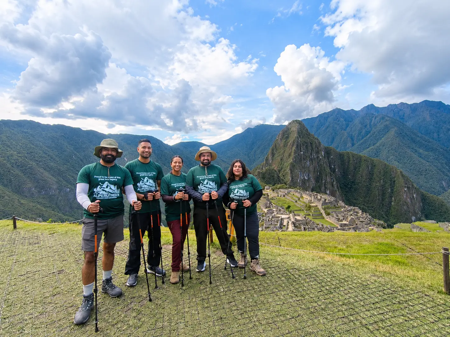
- Wiñay Wayna — meaning “forever young” in Quechua, the most extensive site along the route, combining agricultural terraces with ceremonial structures, and widely considered one of the trail’s archaeological highlights
Each of these sites gives the trek a different character than simply arriving at Machu Picchu by train — trekkers pass through a sequence of functioning Inca settlements rather than seeing the citadel in isolation.
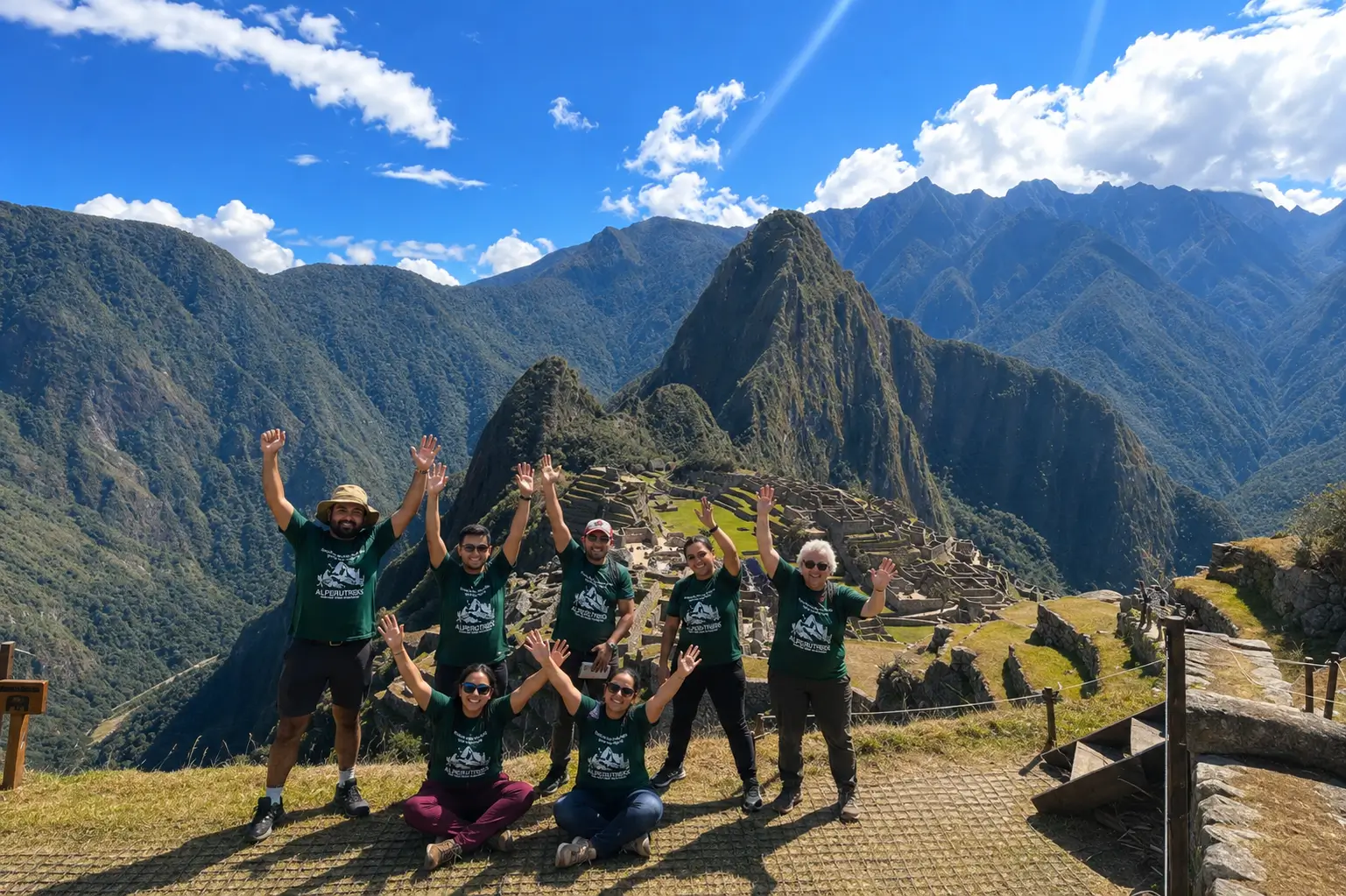
From Ancient Road to Regulated Modern Trek
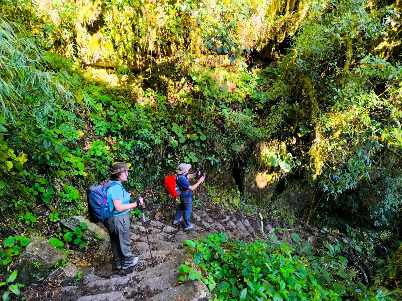
The Inca Trail’s transition from a little-known hiking route to a globally in-demand, permit-controlled trek happened over a few decades in the late 20th century, as international tourism to Machu Picchu grew significantly. By the 1990s, unrestricted foot traffic was causing real, measurable erosion and degradation to both the trail surface and the archaeological sites along it. Peru’s government responded by introducing a daily permit cap — currently around 500 total permits per day, including guides, cooks, and porters, leaving roughly 200 trekker spots — administered through licensed tour operators rather than open access.
This is worth being honest about as a real trade-off, not just a bureaucratic inconvenience: the permit system genuinely protects a centuries-old site from the kind of unrestricted foot traffic that damaged parts of it in past decades, but it also means the Classic Inca Trail requires booking well in advance — commonly 4–6 months ahead for peak season — unlike some alternative routes in the region that carry no such cap.
For travelers who value walking the historically significant, original route specifically, that trade-off is generally considered worth it; for travelers with less flexible planning timelines, it’s a genuine constraint worth knowing about upfront.
How This History Shapes What You See Today
Understanding the trail’s origin changes how several parts of the modern trek read. The Dead Woman’s Pass crossing on Day 2, for instance, wasn’t an incidental obstacle — it was simply the terrain the original route builders had to cross to maintain the most direct ceremonial path to Machu Picchu. The Sun Gate arrival on Day 4 carries similar weight: it was very likely a deliberate architectural and ceremonial threshold, not just a scenic overlook, designed to control and frame the first view of the citadel for arriving pilgrims.
If the broader Inca civilization and its customs interest you beyond the trail itself, that context is covered separately in our overview of Inca culture in Peru.
FAQ: Inca Trail History
In the 15th century, during the reign of the Inca emperor Pachacuti, as part of the broader Inca road network connecting Cusco to Machu Picchu.
No. The Spanish conquest led to Machu Picchu and its trail being abandoned rather than found — the site was never captured or destroyed by the Spanish, and it gradually became overgrown and largely forgotten outside local communities.
Hiram Bingham’s 1911 expedition is credited with bringing Machu Picchu and the trail to international academic attention, though local Quechua communities in the area had long been aware of the ruins.
Peru introduced a daily permit cap in the early 2000s in response to overcrowding and erosion concerns, moving from largely unrestricted access to the regulated, licensed-operator system used today.
Yes. It’s a relatively short surviving section of the much larger Qhapaq Ñan road network that once connected the entire Inca Empire across six modern-day South American countries.