
The Qhapaq Ñan (“royal road” in Quechua) was the Inca Empire’s network of roads, stretching across six modern countries: Peru, Ecuador, Bolivia, Chile, Colombia, and Argentina. UNESCO puts its peak extent at about 30,000 km, while other sources give figures up to 40,000 km. The Classic Inca Trail to Machu Picchu is a short surviving fragment of this system, roughly 42 km long.
This guide explains what the network was, how it was built and run, how much of it survives, and how hiking the Inca Trail connects to it.
What Is the Qhapaq Ñan?
Qhapaq Ñan is the Quechua name for the Inca road system, also called the Andean Road System. It linked Cusco, the empire’s center, with the far corners of the territory, crossing snow-capped Andean passes, high plateaus, rainforests, valleys, and coastal deserts. UNESCO describes it as built for communication, trade, and defense and highlights its social, political, architectural, and engineering achievements.
It wasn’t an Inca invention from scratch. The American Society of Civil Engineers notes that the system developed over a long period, with earlier cultures such as the Chavín, Tiwanaku, Wari, and Chimú contributing structures that the Incas later expanded and integrated, mainly between about 1493 and 1527 AD under the rulers Pachacuti, Tupac Inka Yupanqui, and Huayna Capac. All of this was done without wheels, iron tools, or a written language.
How Long Was the Inca Road System?
Nobody has a definitive number, and it’s worth being upfront about that.
| Source | Length figure |
|---|---|
| UNESCO | About 30,000 km at its peak (15th century) |
| Wikipedia (summarizing multiple studies) | About 40,000 km; estimates range from 23,000 to 60,000 km. |
| American Society of Civil Engineers | About 24,000 miles (roughly 38,600 km) |
The variation comes from what gets counted: main roads only, or also secondary and transverse routes, and whether fragmentary or reconstructed sections are included. For planning purposes, “30,000–40,000 km” is the safe range to quote.
The Four Suyus: How the Network Was Organized
Roads radiated from Cusco toward the empire’s four quarters, called suyus:
- Chinchaysuyu (north): the most important route, running toward Quito.
- Collasuyu (south): branching around Lake Titicaca and reaching as far as the Maipo River in Chile.
- Antisuyu (east): leading toward the Amazon; the least documented.
- Contisuyu (west): connecting Cusco to the Pacific coast.
Two main longitudinal routes ran the length of the empire: a highland road through the Puna at over 4,000 m and a coastal road starting at Tumbes that is the basis of the modern Pan-American Highway. More than twenty transverse routes connected the two.
How the Roads Worked: Tambos, Chasquis, and Bridges
The network was an administrative and military tool as much as a transport route.
- Tambos (waystations): lodging and storage sites spaced about a day’s walk apart. They provided shelter and supplies for officials, armies, and travelers on state business. The ASCE describes stations at roughly 12-mile (about 19 km) intervals.
- Chasquis (relay runners): messengers who passed information along the road in relays. Sources agree they were central to communication, but exact speeds and distances vary too much to quote reliably.
- Warehouses and fortresses: qullqas (storage) and pukaras (fortresses) were placed along the roads.
- Bridges: stone, log, and rope bridges crossed rivers and gorges. The Apurímac rope bridge spanned about 45 m and was replaced roughly every two years, which required constant community labor. At least one suspension bridge of this tradition survives today near Huinchiri, Peru.
Engineering: How They Built Roads Across the Andes
Road width and form varied with terrain. Typical roadways were 1 to 4 meters wide, and the Cusco–Quito route sometimes reached 16 m. Engineers used:
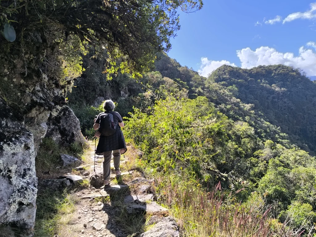
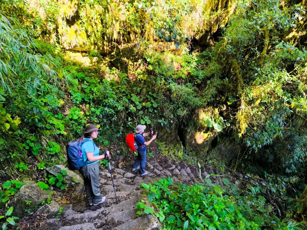
- Paved sections and stone stairways on steep slopes
- Retaining walls to hold roads on mountainsides
- Drainage ditches and culverts to manage water
- Causeways across wetlands
- Low walls to keep sand off roads in coastal deserts
- Stone markers and cairns (apachetas) to mark routes
Some roads exceeded 5,000 m in altitude, including a ritual road to the summit of Mount Chañi at 5,949 m.
What Happened to the Roads After the Spanish Conquest?
The Spanish used the roads to reach Cusco, but horses and ox carts were poorly suited to many sections, and much of the network fell out of use. A bigger factor was population collapse: the labor system that maintained the roads depended on large communities, and the population fell dramatically within decades. By 1553 the chronicler Cieza de León was already noting the road’s decay. Many tambos were converted into stores and shops, and roughly 25% of the network is still visible today. The ASCE adds that parts of the original system remained in use into the 20th century.
UNESCO Recognition
The Qhapaq Ñan, Andean Road System, was inscribed on the UNESCO World Heritage List in 2014 as a shared listing across Argentina, Bolivia, Chile, Colombia, Ecuador, and Peru. It includes 273 component sites over more than 6,000 km. That’s the inscribed portion only, not the full historical network, so don’t confuse the two numbers.
Machu Picchu has a separate designation: the Historic Sanctuary of Machu Picchu, which includes the Inca Trail corridor, was inscribed in 1983.
Where the Inca Trail Fits In
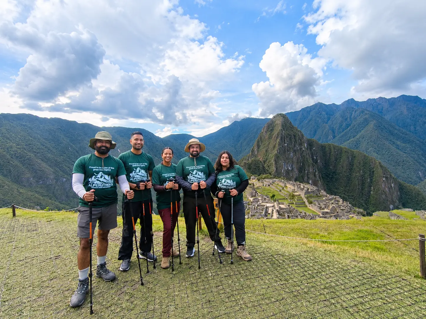
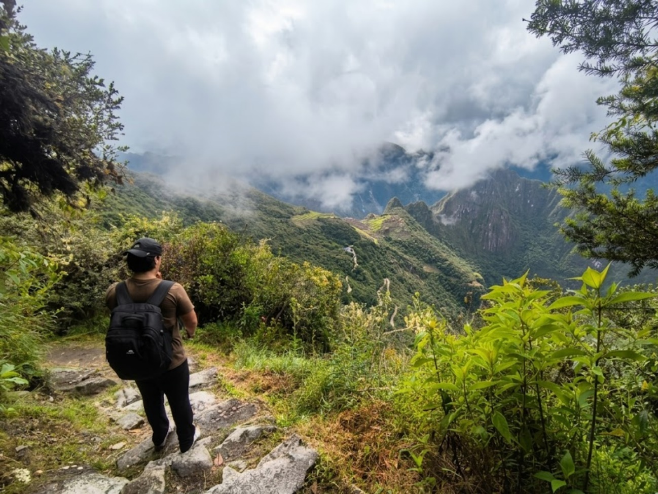
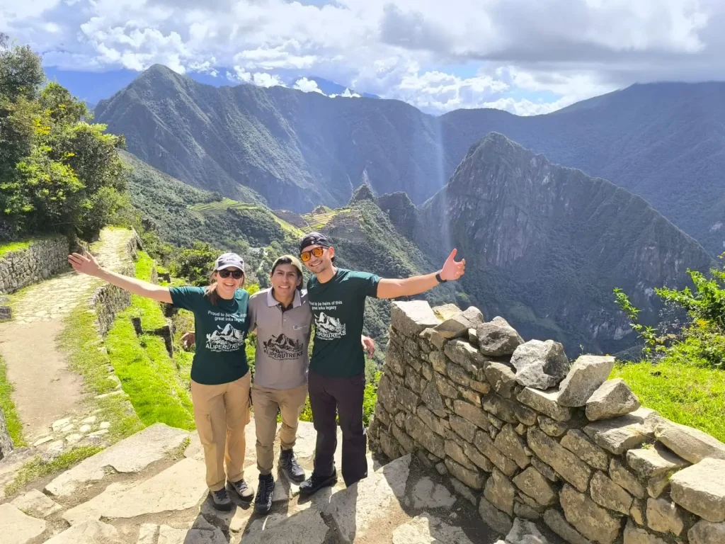
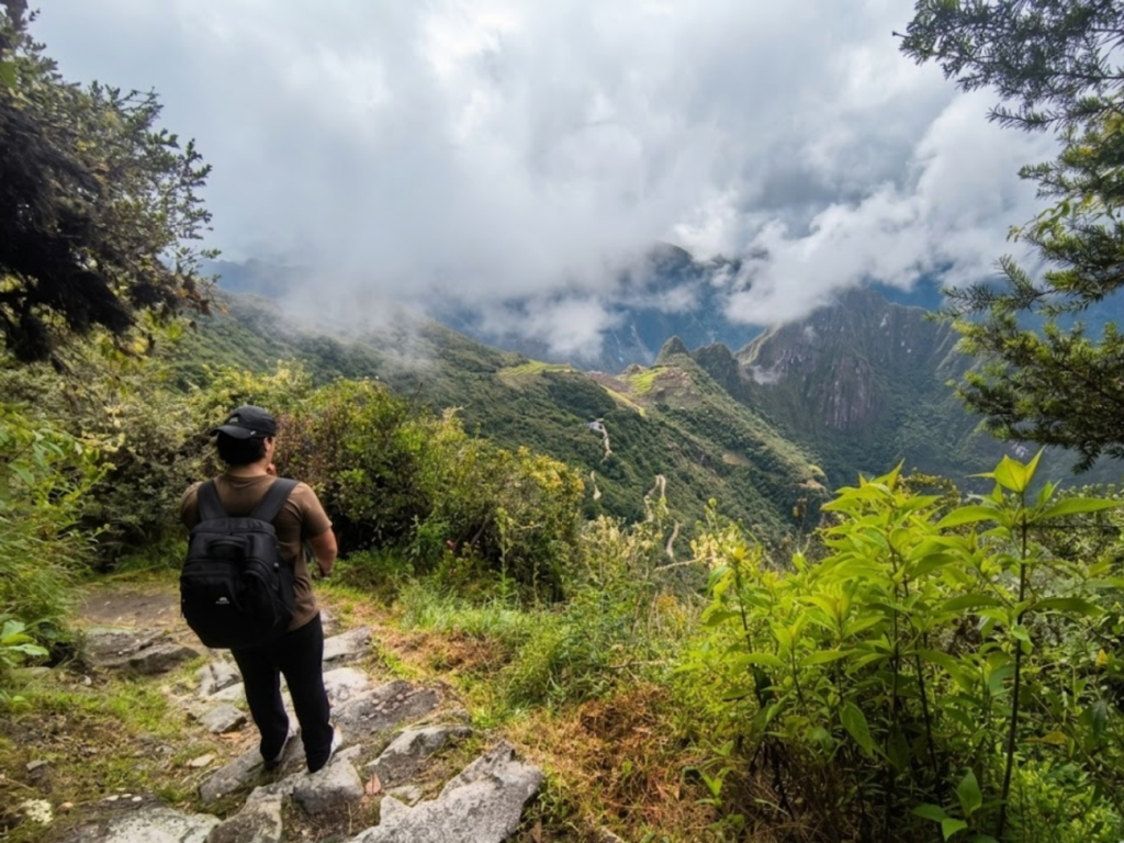
The Classic Inca Trail, from Km 82 to Machu Picchu, covers about 42 km and is one small, exceptionally preserved section of the wider network. It’s generally understood to have served a ceremonial and pilgrimage role rather than a long-distance trade role, which is part of why it’s lined with sites like Runkurakay, Sayacmarca, Phuyupatamarca, and Wiñay Wayna. For the full story of the trail itself, see our Inca Trail history guide, and for the exact start and end points, where the Inca Trail begins and ends.
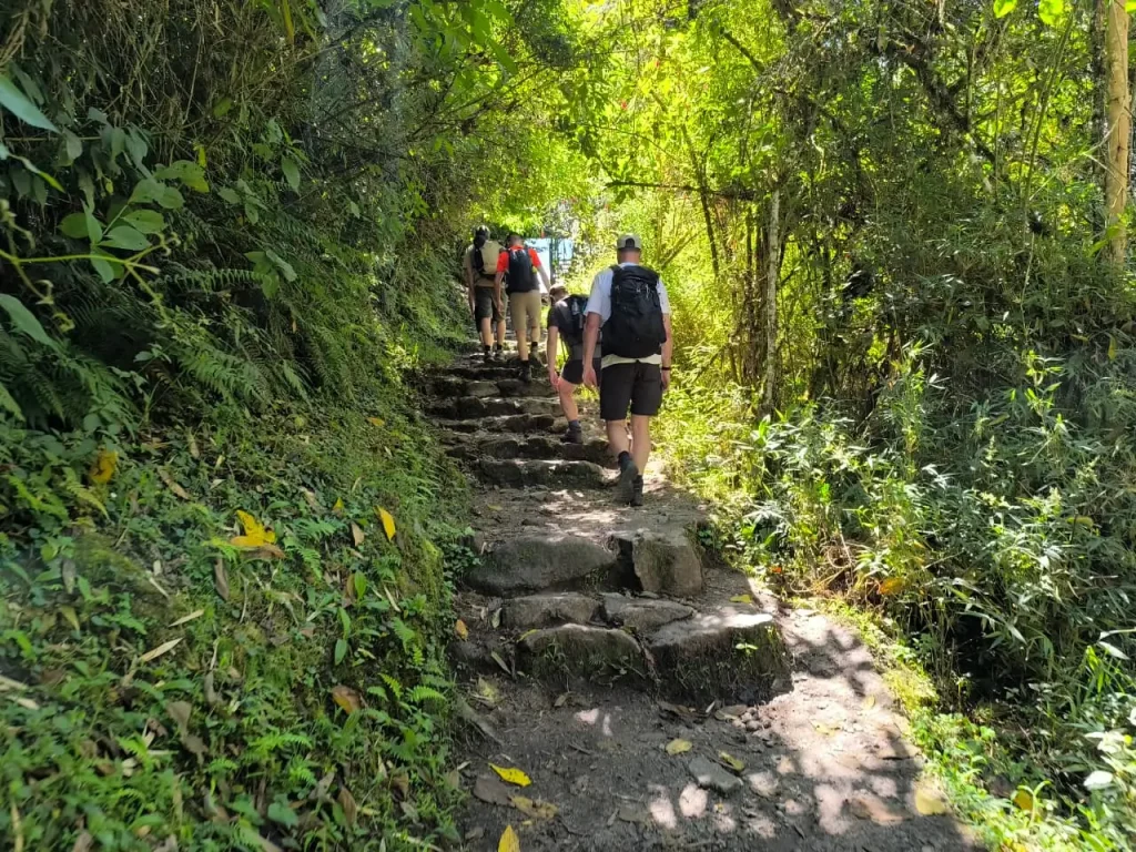
What you actually walk reflects the engineering described above: stone paving, stairways, and steep climbs such as Dead Woman’s Pass at 4,215 m. That stone paving is the reason trekking poles must have rubber tips; see the Inca Trail rules and regulations for the details.
Hiking Inca Roads Beyond the Classic Trail
The Classic Inca Trail isn’t the only way to walk historic roads. The Short Inca Trail covers the final stretch to the Sun Gate in two days, and the Ancascocha Trek joins the Inca Trail corridor near Paucarcancha, avoiding the permit cap that applies to the classic route. If you want the full four-day experience, the Classic Inca Trail is the only itinerary that walks the traditional route from the Km 82 end to end. To place the road in its wider cultural context, read about Inca culture in Peru.
Remember that walking at these altitudes demands preparation; our altitude sickness guide covers the basics.
FAQ: Qhapaq Ñan and the Inca Road System
It means “royal road” or “main road” in Quechua and refers to the Inca road system that connected the empire from Cusco.
Estimates range from about 23,000 to 60,000 km, depending on the source. UNESCO cites roughly 30,000 km at its peak, and 40,000 km is the figure most often quoted.
Yes. The roughly 42 km Classic Inca Trail is a small surviving section of the broader road network.
Yes. It was inscribed in 2014 as a shared listing across six countries, with 273 component sites over more than 6,000 km.
Roughly a quarter of the network is still visible, according to published summaries, though some sections are well preserved and others are fragmentary.